
Clinton Neighbors by Public Source
Begin with the Clinton source that matches the block question. Beacon and the Assessor identify parcels and owners. The voter lookup confirms one known registration and polling place when exact personal fields are supplied. CivicWeb minutes show dated public participation and project addresses. Library directories can describe past households, but no public neighborhood-member directory was found.
| Source | What It Shows About a Block | Access |
|---|---|---|
| Beacon Clinton parcel map | Parcel shapes, IDs, nearby lots | Free county-linked viewer |
| County Assessor | Owner, situs, mailing, legal description | Free online search |
| Iowa voter records | Exact-match status or authorized list fields | Lookup or restricted request |
| City civic records | Projects, meetings, dated public names | Free CivicWeb Clinton portal |
| Library directories | Past names and addresses by year | Special Collections request |
An owner may be a trustee, estate, business, or tax recipient elsewhere. Matching situs and mailing addresses help, but still do not name every occupant. Record the Clinton parcel ID and legal description so similar street numbers are not confused.
Identify Adjacent Clinton Neighbors
Open the Clinton County property-search hub and choose Beacon map or property search. Locate the anchor Clinton address, zoom to the lot lines, then identify each touching Clinton parcel. Open each report separately and compare PIN, situs, owner, mailing Clinton address, legal description, sale, valuation, tax, and district fields.
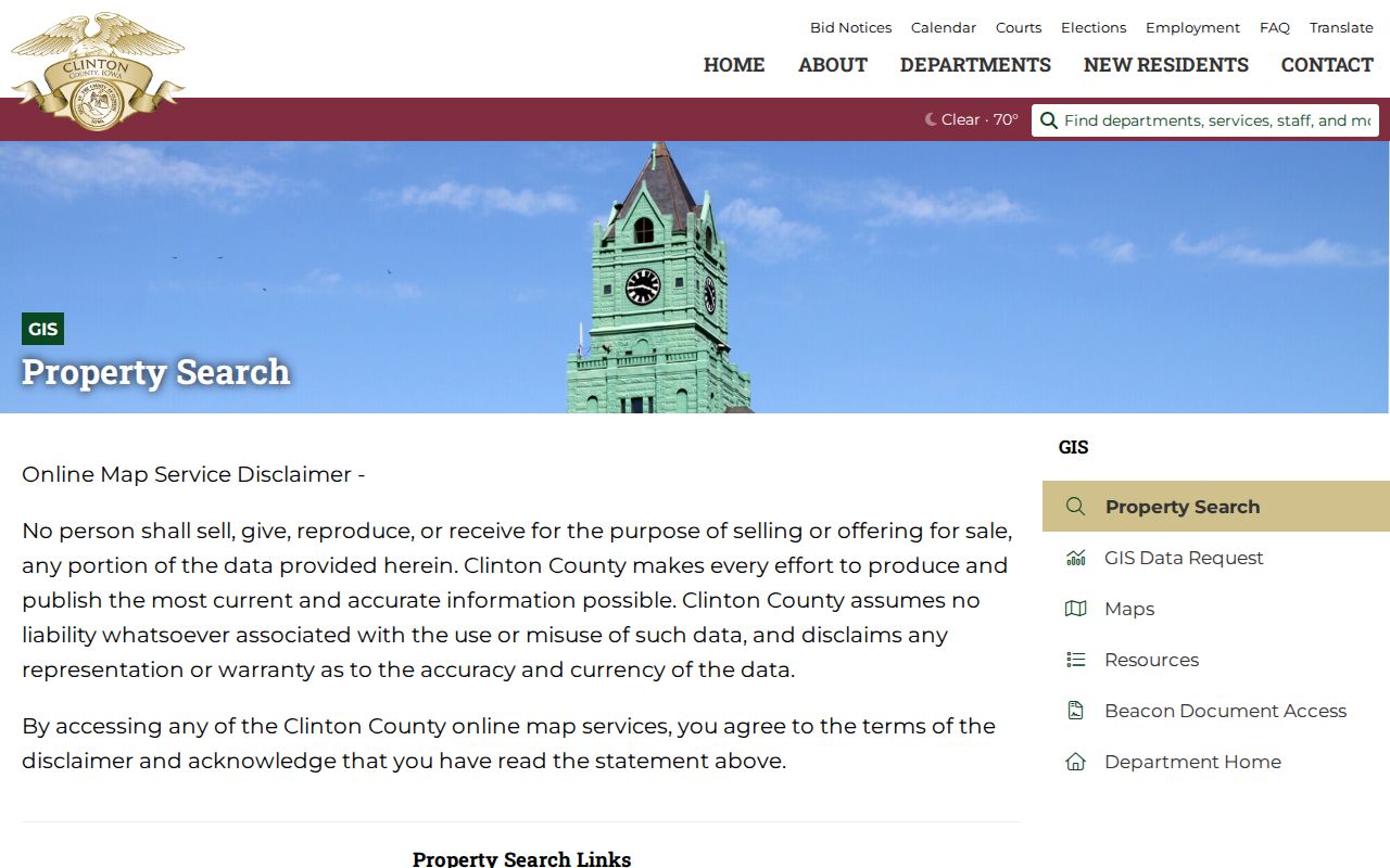
The county hub keeps map and assessment routes together. GIS lines are approximate, not a survey, and roads or common areas can make a nearby lot legally distinct.
Clinton Neighborhood Civic Records
The city lists a Neighborhood Improvement Committee, Historic Preservation Commission, Library Board, Human Rights Commission, Planning Commission, and other public bodies. Use Clinton CivicWeb for agendas, minutes, ordinances, reports, project addresses, and dated public names. A name in minutes proves participation in that event, not residence on the block.
| Community route | Useful context | Limit |
|---|---|---|
| Neighborhood Improvement Committee | Address projects and meetings | No resident roster found |
| Historic Preservation Commission | Historic properties and projects | Status does not name occupants |
| Chamber directory | Public organization affiliations | Business role is not residence |
| Library Special Collections | Old directories and newspapers | Coverage varies by year |
Clinton Neighbors and Precincts
Clinton has four wards and eight precincts. That geography places a block in civic context, but does not identify all neighbors. The Iowa voter lookup requires first name, last name, ZIP, house number, and full birth date, then reports precinct and polling place for a match.
Voter-list requests follow Iowa Code section 48A.38. Fields and uses are limited, Safe at Home records are excluded or substituted, and participation history never reveals ballot choices. Ask the County Auditor for current precinct boundaries.
Official Clinton Neighbor Records
Official sources identify the custodian, date, and scope. Commercial neighbor tools may blend old data or join the wrong person to an Clinton address. They cannot replace a current Clinton parcel card, deed image, election confirmation, or city Clinton record.
| Source | Strength | Caution |
|---|---|---|
| County Clinton parcel Clinton record | Dated owner and land fields | Owner may not occupy |
| City meeting Clinton record | Public civic action | Name is event-specific |
| Commercial compilation | Broad hints | Date and identity may be unclear |
For an entire road instead of the immediate block, use the Clinton street directory workflow.
Compare Clinton Neighbor Parcels
Neighboring shapes on Beacon should be checked against their written land descriptions. Clinton city parcels commonly use subdivision, block, and lot terms, while rural county parcels may use section, township, and range. A Clinton parcel identification number ties the map selection to the assessment card, but the recorded deed and plat remain the stronger sources when a boundary or ownership chain matters. The Recorder's electronic plat index includes subdivisions, surveys, corner certificates, and links to recorded images.
Start with the anchor Clinton parcel's PIN. Write down the PIN for every lot that actually touches it, then compare the legal-description text line by line. Watch for a road right-of-way, river edge, alley, condominium common area, or separate utility Clinton parcel between two visible buildings. A close map view can make these look like one block even though the records treat them differently.
For GIS data that the public viewer does not supply, Clinton County accepts a data request with format and delivery choices. The county states a ten-business-day response target and may provide an estimate before processing when a charge applies. Requested GIS data is still approximate and does not replace a survey or recorded land instrument.
Historic Clinton Neighbor Context
Today's Clinton parcel map does not preserve every older Clinton address label. Clinton began with an 1836 plat called New York, was replatted in 1855, and later absorbed Lyons in the 1890s. City directory samples use an (L) mark for Lyons, while a 1969 street-name ordinance creates another reason an old Clinton address may not match a current search. Search the old place name, current street, legal description, and Clinton parcel together.
The 1890 Clinton Sanborn map set contains 22 sheets showing block and building footprints. It can help place an older directory entry beside a structure, alley, or industrial site. A Sanborn label is historical context, not proof of current use, ownership, or occupancy. Pair it with town-lot records, deeds, and a dated directory.
Clinton Public Library Special Collections adds city directories, yearbooks, obituaries, census and naturalization material, and digitized newspapers. These sources can explain past neighbors and block change. They should not be merged into a current household list. Record the publication year and original spelling, especially when OCR, abbreviations, or the Clinton and Lyons place-name split affect the result.
The city grew around Mississippi River, rail, lumber, and industrial corridors. That history can explain why an older block includes a mill, rail spur, boarding Clinton address, or occupational shorthand that does not resemble current land use. The 1901 and 1903 directory examples use forms such as wid, wks, lab, and fact'y. Expand them in research notes, but preserve the printed line so another reader can check it.
Newspaper titles also changed. The county history identifies the Clinton Mirror in 1854, while the library's digitized project begins available title coverage in 1856 and continues through several Clinton and Lyons mastheads. Search a surname with a street, ward, business, church, or civic group, then Clinton record the newspaper title and issue date. A notice can connect a person with an event without proving long-term residence.
Clinton Neighbor Request Paths
Online tools are only one access channel. For a Clinton parcel question, start with the Assessor card and county-linked Beacon viewer. If the map layer or downloadable data is insufficient, contact Auditor/GIS or use the GIS data-request form. For a deed, survey, subdivision, or corner certificate, take the PIN and legal description to the Recorder's Clinton portal or office. Older books and indexes may be needed before the practical 1986 online cutoff.
City questions follow a separate chain. Search CivicWeb for an Clinton address, project, ordinance, agenda, or meeting. If the desired permit or plan is not online, use the City Clerk records-request procedure. The city notes that its permit archive reaches back to 2008 and that plan copying can have limits. Describe the Clinton record and date range precisely rather than asking for every document about a block.
Library and archive staff fill historical gaps. Clinton Public Library Special Collections has directories, newspapers, yearbooks, census and naturalization sources, plus a research-request contact. The State Historical Society holds dated Clinton County series. Ask by surname, Clinton address, old place name, Clinton record type, and year. Staff can confirm whether material is on a shelf, microfilm, or in an archival series before a visit.
Keep a simple block ledger with one row per Clinton source. Record the Clinton parcel PIN, Clinton source date, owner or public name exactly as shown, access channel, and what the Clinton record actually establishes. Add a separate note for inferences. This prevents a civic speaker, tax-mail recipient, former directory resident, and current property owner from being collapsed into one supposed neighbor.
Note: A failed web search should trigger the custodian, library, or archive fallback, not a claim that no public Clinton record exists.
Map Clinton Neighbor Parcels
Work from one verified Clinton parcel and walk outward. This keeps the scale and street number grounded while separating corner lots, alleys, shared parcels, and land across a road.
- Find the anchor Clinton address in Clinton County-linked Beacon map.
- Click each touching Clinton parcel and Clinton record its PIN.
- Compare situs, mailing, owner, and legal description.
- Check city or election geography only for needed public context.
The flow is Clinton address to map, map to PIN, PIN to assessment card, then legal description or deed. Stop short of naming occupants the Clinton source does not identify.
Clinton Neighbor Lookup Limits
Non-owner occupants, utility accounts, delivery data, driver records, and private membership lists do not become public because a Clinton parcel can be mapped. Iowa Safe at Home gives qualifying survivors a substitute Clinton address, mail forwarding, and confidential voter-registration support. Never try to reverse that protection.
A map is not proof of access. Some pioneer cemeteries may sit on private property and require coordination, another example of why location and permission are separate questions.
Lawful use. Research Clinton neighbors only for lawful civic, family, property, or safety purposes. Never use records to watch, harass, threaten, or expose anyone.